Geophysics, Cartography, Profile Analysis and Modelling
Image gallery
Description
The Service makes up several IACT laboratories, whose facilities allow researchers to process geological and geophysical data:
- Processing of geophysical data (multichannel and monochannel seismic profiles, gravimetric and magnetic profiles).
- Interpretation of seismic profiles 2D and seismic profiles 3D.
- Design and drawing of figures and maps.
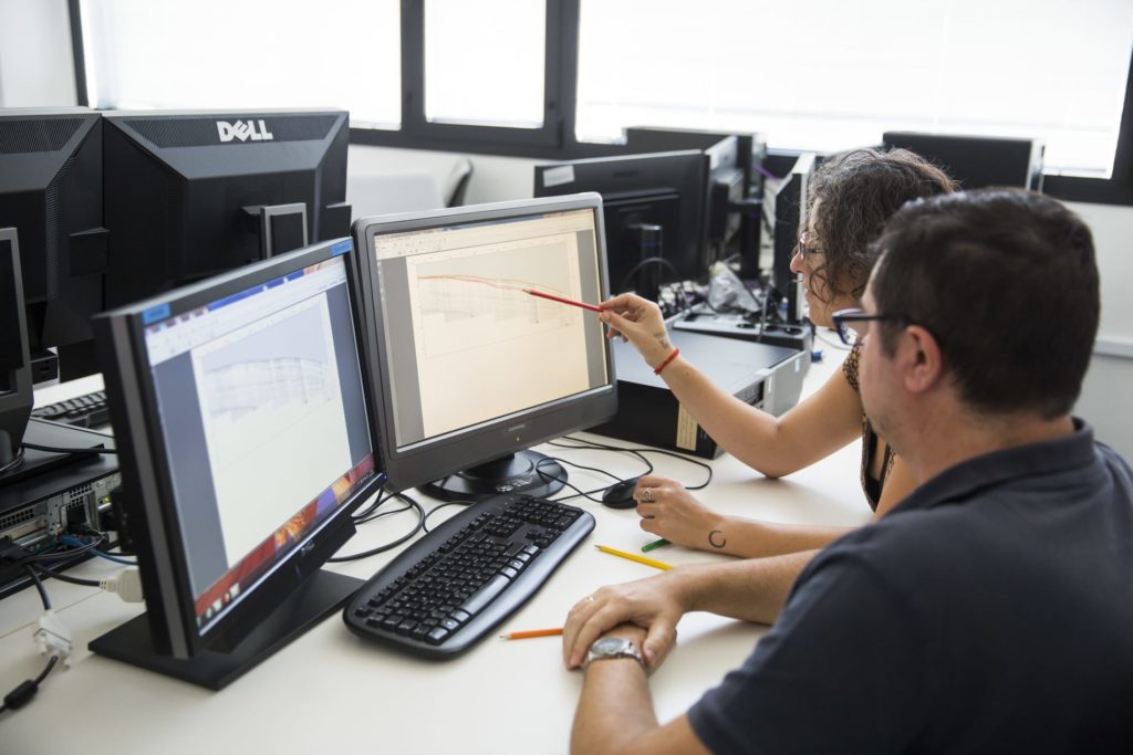
The IACT has a computer infrastructure for processing and interpretation of geological and geophysical data:
-
- Visualizing, processing and interpretation of bathymetry data, obtained using multibeam probes. Software: Fledermaus, Caraibes, Caris.
- Digitizing of seismic profiles, using analogical scanning of profiles and conversion to digital formats (eg. segy). Software: Lynx.
- Processing of geophysical marine data, such as (multichannel and monochannel) seismic profiles, gravimetric and magnetic data. Software: Promax, RadExpro, SeismicUnix.
- Structural analysis of geological sections, section balancing, decompacting, section restitution and prolongation in depth of surface data. Software: 2DMove.
- Seismic and well data interpretation.
Scientific advisors: Francisco J. Lobo Sánchez